PAYETTE NATIONAL FOREST — If you're wanting to head out and enjoy the 2.3 million acres of outdoor activities the Payette National Forest has to offer, things just got a little easier.
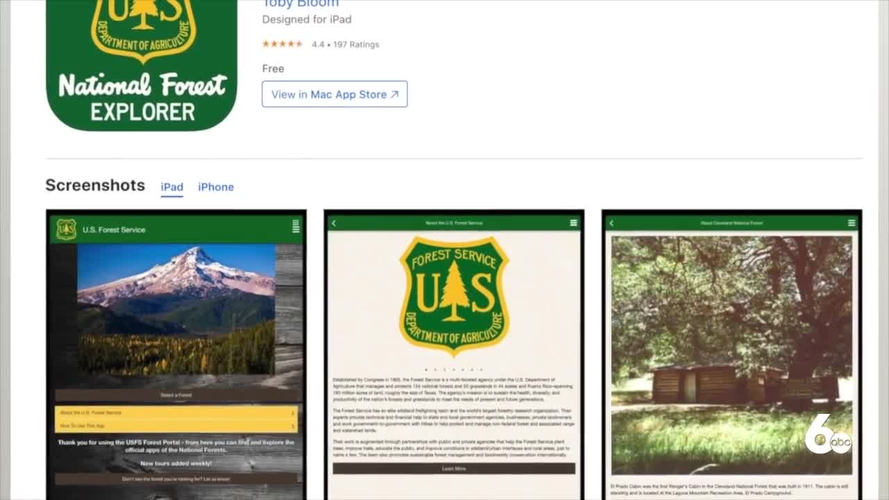
There is now an app for your mobile device with everything you need to know before heading out.
"Very often we have people that send us questions or call us asking specific things about the forests, and most often that question is where can I go to do such and such," said Brian Harris, Payette National Forest public affairs officer. "The forest is 2.3 million acres so our first question is usually well where are you thinking about going, so this app helps to address that right upfront."
The app includes a map of the forest with locations of recreation sites, trailheads, campsites, lakes and information kiosks that you can view anytime. It also provides up-to-date information on closures, special activities and you can earn badges by visiting different sites.
“National Forests are public lands and keeping those public lands open and accessible and available to people is really our primary goal," Harris said. "This app really helps that it helps people know all the great facilities and opportunities that exist in the forest.”
The app is free to download and you don't need cell phone service to use it.
To download the app on your Google device, click here. To download the app on your Apple device, click here.


