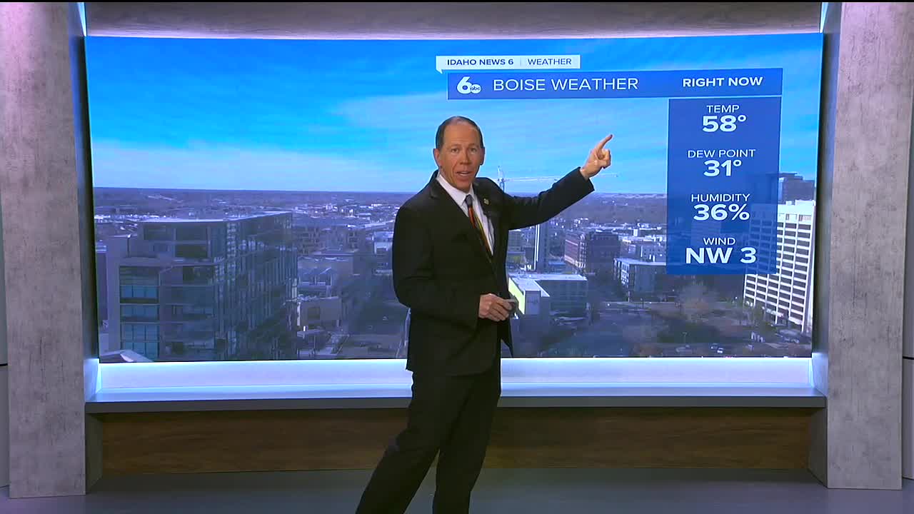
After record warmth in the Treasure Valley on Wednesday we can expect a bit of a cool down for the rest of the week. Tonight, expect partly cloudy skies, with areas of fog developing after 11 pm.
As we head into Thursday, mostly sunny skies are expected, with areas of fog lingering in the morning, and highs near 43°F. However, the fog will return on Thursday night, with mostly cloudy skies and lows around 28°F.
Looking ahead to the weekend, a 30% chance of rain is expected on Saturday, with mostly cloudy skies. Rain becomes more likely on Saturday night, with a 60% chance of precipitation.
A wet and cloudy weather pattern will persist through the early part of next week, with rain likely on Sunday, Monday, and Tuesday.
Here's a breakdown of the expected precipitation:
- Late Saturday into early Sunday: 0.1-0.3 inches of rainfall in the valleys, with a few inches of snow above 5-6 thousand ft MSL.
- Later Sunday into Monday: 0.1 inches of rainfall in the valleys, with 0.1-0.3 inches of rain in the mountains and a few inches of snow above 5-7 thousand ft MSL.
- Tuesday evening through Christmas morning: 0.1 to 0.4 inches of rainfall in the valleys, with 0.5 to 1 inch of rainfall in the mountains becoming 2-8 inches of snow above 5-6 thousand ft MSL.
Temperatures are expected to hold fairly steady around 5 degrees above normal, with slight cooling after each trough.
Here's a brief look at my forecast:
Tonight: Partly cloudy, with lows around 29°F and areas of fog.
Thursday: Mostly sunny, with highs near 43°F and areas of fog in the morning.
Friday: Partly sunny, with highs near 40°F and areas of fog.
Saturday: 30% chance of rain, with highs near 45°F and mostly cloudy skies.
Sunday: Rain, with highs near 43°F and lows around 34°F.
Monday: 30% chance of rain, with highs near 46°F and mostly cloudy skies.
Tuesday: Rain likely, with highs near 47°F and cloudy skies.
Christmas Day: Partly sunny, with highs near 43°F.


