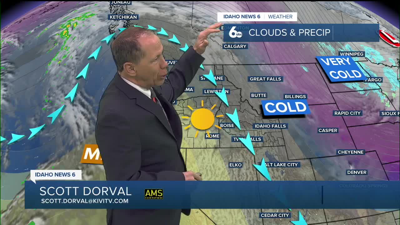

Bright sunshine continues thanks to high pressure which is located to our west. It will keep the area under northerly flow and continued chilly air. As it slides just to our south on Tuesday it will put our area under southwest flow helping to warm temperatures. Daytime highs will climb closer to normal on Tuesday.

Dry weather will stay with us through Tuesday and Wednesday.

A warming trend is expected as we start off November with highs reaching the mid to upper 50s for the remainder of the week. Clouds will be on the increase after Wednesday along with shower chances. Between 0.25-0.5" of moisture is anticipated in the Treasure Valley from Thursday through Sunday, with higher amounts in the mountains. Snow levels will be higher this time around, largely staying above 7000 feet so existing snow below 7000 feet will be melting by the weekend.


This weekend Daylight Saving Time comes to an end at 2:00 AM on Sunday, so make sure to set the clocks back an hour before heading off to bed on Saturday. Enjoy those later sunsets this week, on Sunday the sun will set around 5:30 PM!
