


A low pressure system is fast approaching from the northwest and will push cloud cover in during the evening with valley rain and high mountain snow quickly developing and spreading south over the rest of the area by Wednesday morning.
In the Treasure Valley, rain will develop late Tuesday night lasting through midday Wednesday with a brief break the possible brief heavy downpours of rain mixed with graupel during mid afternoon. Partial clearing and colder temperatures by Thursday morning. A quarter to a half an inch of rain is likely in the valley by Wednesday evening.
Snow levels fall as low as 3000-4000 feet by Thursday morning with a slight chance of snow showers for the Boise foothills, Mountain Home, and the Magic Valley. Several inches of snow (6-12 inches) expected for locations above 6000 feet. A Winter Weather Advisory the Stanley Basin and Sun Valley Region.


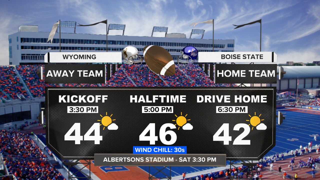
A reinforcing shot of cold air arrives for the weekend. High temperatures will only reach the low to mid 40s for the Snake River Plain and low to mid 30s in higher elevations. Frigid overnight temperatures are also in the forecast with overnight lows dipping into the 20-27 for the Snake River Plain and single digits or teens for the mountains.

Stay connected right here for updates to my forecast!