
High pressure kept the weather dry and unseasonably warm the last several days. It begins to break down over the next several days as a storm system stalls out near the West Coast. Some moisture from the system will trigger isolated thunderstorms in the southwest Idaho and eastern Oregon on Sunday and Monday evenings. The greatest risk will be sporadic wind gusts up to 30-40 MPH.

The low pressure system remains to the west through midweek which will keep central and southern Idaho under southwesterly upper-level flow. Thus, temperatures remain 10-20 degrees above normal. Eventually, the ridge breaks down and gives way to the low pressure. Unsettled and cooler conditions return towards the end of the week.
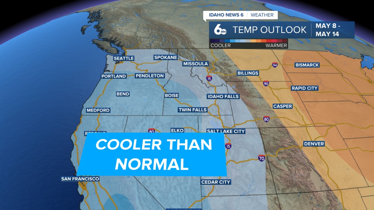
Shower and thunderstorm chances are greatest on Friday, but continuing into the weekend. High temperatures will be close to or below normal during this timeframe.